
Methane Solutions
Comprehensive Emission Data Solutions
Independent Methane Emissions Monitoring, From Global to Facility Level
GHGSat provides independent, measurement-based methane emissions data used for operational decisions, regulatory reporting, and financial oversight. Delivered through satellite, airborne, and third-party data services, GHGSat’s products are designed to work individually or as an integrated tiered monitoring program, giving operators, governments, and financial institutions the emissions intelligence they need at the right scale and resolution.
Emissions data is delivered flexibly through SPECTRA, GHGSat’s emissions analytics platform, direct API integration, or custom file formats, giving operators, governments, and financial institutions centralized access to facility-level measurements, historical observations, and portfolio reporting in a single environment.
Satellite Methane Monitoring
DATA.SAT
DATA.SAT delivers independent, high-resolution satellite methane data attributed to individual facilities, with daily global coverage and data delivery within 24 hours of observation. Designed for frequent monitoring across distributed asset portfolios, it supports operational response, regulatory reporting, and portfolio-level emissions oversight.
- Best for: Facility-level detection, performance tracking, regulatory reporting
- Detection threshold: 100 kg/hr
- Spatial resolution: ~25 m
Airborne Methane Monitoring
DATA.AIR
DATA.AIR provides high-resolution airborne methane measurement at sub-metre spatial resolution, detecting and attributing emissions to individual sources within a facility perimeter. Delivered as a fully managed measurement service, it supports source investigation, LDAR programs, mitigation verification, and regulatory submissions.
- Best for: Source investigation, LDAR, certification support
- Detection threshold: 3.5 kg/hr at 90% PoD
- Spatial resolution: <1 m

Third-Party Global Survey
DATA.GS
DATA.GS integrates methane emissions data from public third-party satellite sources—including Sentinel-2, Sentinel-5P, Landsat, and EMIT—into a single validated dataset. It provides wide-area visibility of large methane emission events across global asset portfolios, enabling risk screening, event-driven monitoring, and cross-source reconciliation with higher-resolution data. Processed and delivered by GHGSat, DATA.GS eliminates the need for in-house geospatial capability and can be combined with DATA.SAT to create a comprehensive, tiered monitoring program.
- Best for: Regional emissions oversight, risk monitoring, tip-and-cue monitoring, portfolio screening
- Detection threshold: >1,000 kg/hr
- Coverage: Global, daily
Who We Work With
Built for the Decisions That Matter
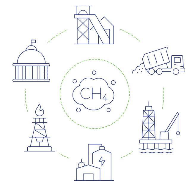
GHGSat’s methane emissions monitoring products are used by organisations that require independent, measurement-based emissions data.
Oil & Gas Operators
Facility-level measurement for LDAR programmes, regulatory reporting, and certification.
Mining & Extractive Industries
Independent emissions quantification across surface operations and distributed assets.
Waste Management & Landfill Operators
Detection, quantification, and tracking of methane emissions across sites and infrastructure.
Government & Regulators
Independent measurement for inventory validation, compliance oversight, and enforcement.
Financial Institutions & Sustainability Teams
Asset-level emissions data for financed emissions accounting, ESG disclosure, and due diligence.
Speak to An Expert
Not Sure Where to Start?
GHGSat’s team works with operators, regulators, and financial institutions to identify the right measurement approach for their program. Whether you need portfolio-wide satellite coverage, a targeted airborne campaign, or a combination of both, speak with a GHGSat expert to understand your options.