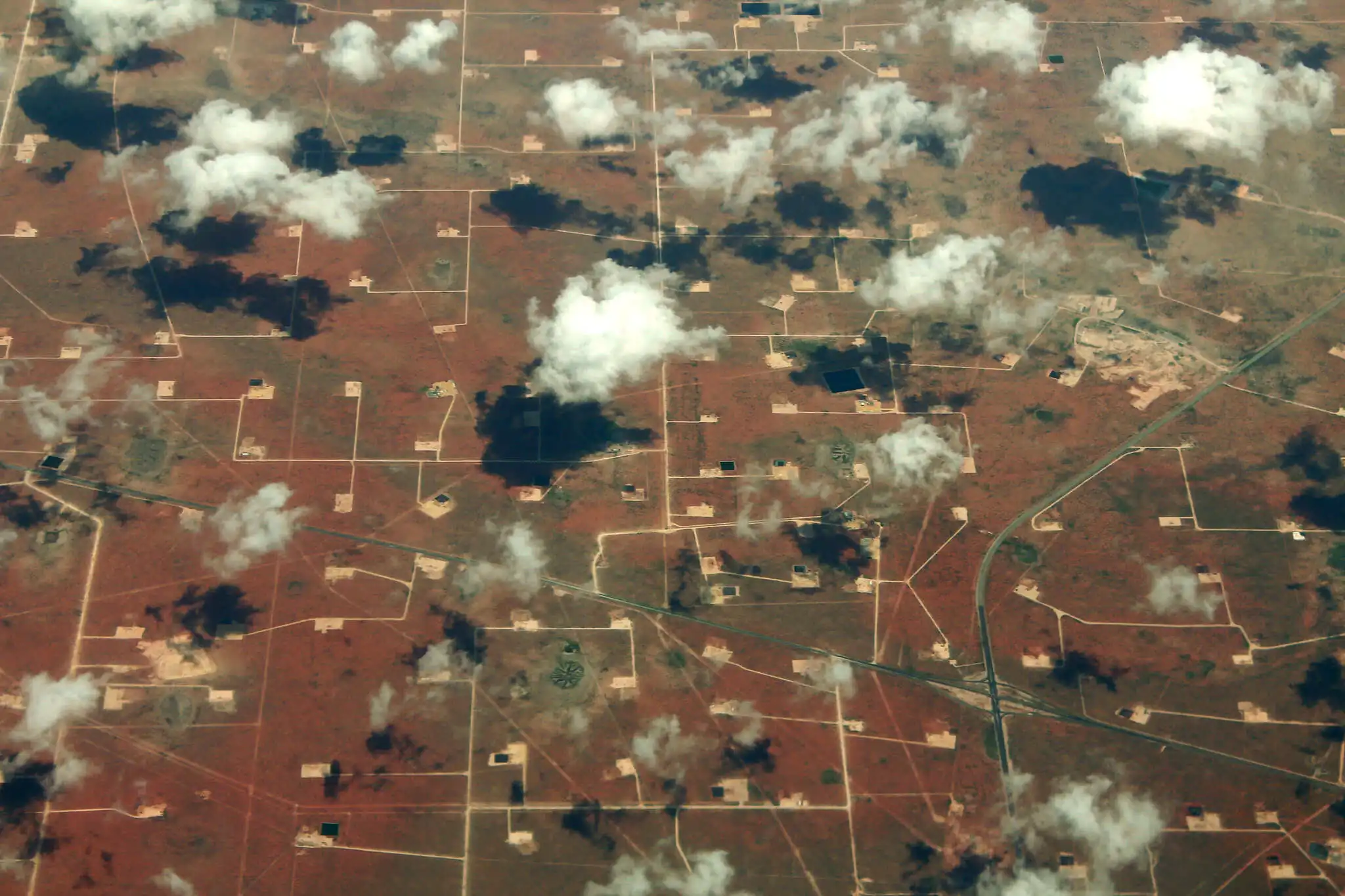
Oil & Gas
Detecting Every Emission Source
Accurate Facility-Level Oil & Gas Methane Monitoring
Every undetected methane leak, from unlit flares to open thief hatches across well pads, gas plants, compression stations, and offshore platforms, is lost product that should be in your sales line, not vented to the atmosphere.
GHGSat’s satellite and airborne methane monitoring pinpoint emission sources to the individual facility level, so operational teams know where to act, compliance teams have verified data for LDAR and environmental reporting, and executives have numbers they can stand behind.
Oil & Gas Methane Monitoring Challenge
Detecting and Managing Oil & Gas Methane Emissions at Scale
Oil and gas methane emissions are intermittent. Research using GHGSat satellite observations found that facilities emitted methane only around 16% of the time they were observed and that emission rates can vary by 50% or more between seasons, with winter consistently producing higher readings across major producing basins.
A small number of facilities account for a disproportionate share of total losses, and they are rarely the ones already on your radar. Well pads, compressor stations, pipelines, LNG terminals, and offshore platforms each emit differently, unpredictably, and often beyond the reach of traditional LDAR monitoring.
Ground-based inspection programs are point-in-time and resource-heavy. Regulatory frameworks like OGMP 2.0 now require measurement-based, independently verified, facility-level methane data. Operators who cannot provide it face regulatory exposure, restricted market access, and increasing pressure from capital markets.
What you don’t measure, you can’t manage. And what you can’t prove, you can’t defend.
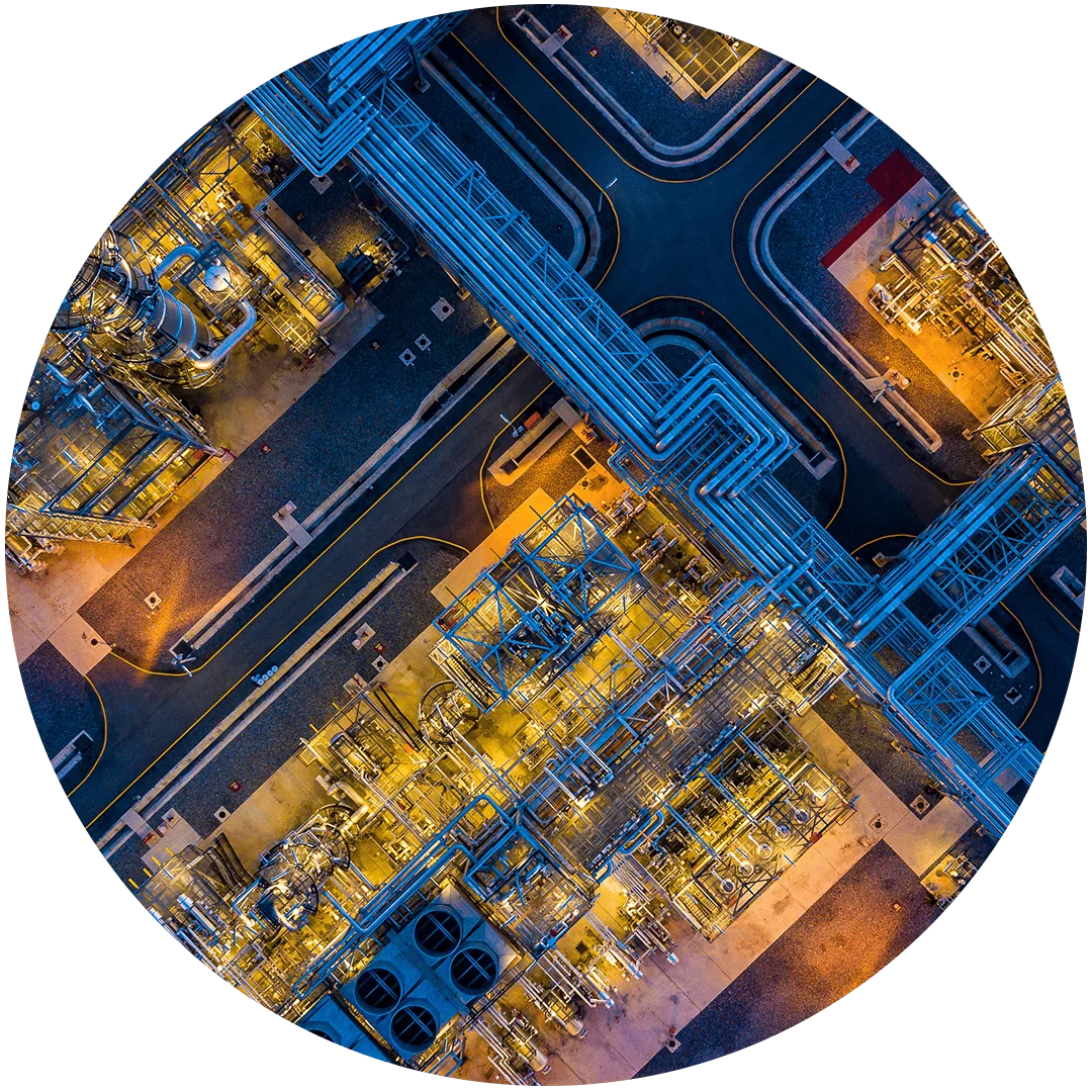
Oil & Gas Methane Monitoring Solution
Satellite & Airborne Methane Monitoring Across Every Stage of Operations
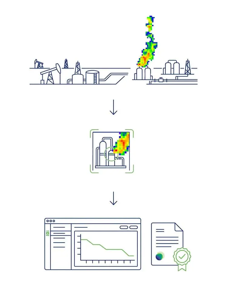
GHGSat provides independent oil and gas methane monitoring across the full asset base from wide-area satellite screening to facility-level source attribution.
Monitor & Detect: Satellite methane monitoring delivers persistent coverage across your entire portfolio, identifying emission events and flagging assets for follow-up, including sites where ground access is limited or impossible.
Investigate & Diagnose: Where a facility needs closer examination, high-resolution airborne methane monitoring provides source-level attribution at sub-meter resolution, pinpointing which component is emitting and at what rate.
Quantify & Verify: Every measurement produces quantified emission rates with documented uncertainty structured for OGMP 2.0 methane reporting, MiQ certification, regulatory submissions, and financial disclosure. Repeat measurement confirms mitigation outcomes.
2025 GHGSat Methane Data
Oil & Gas Methane Emissions Monitoring at Scale
MtCO₂e Emissions detected from oil and gas operations in 2025
kg/hr Average site emission rate for oil and gas sites in 2025
Persistence
rate
Asset Coverage
Facility-Level Oil and Gas Methane Monitoring Across the Full Asset Base
Upstream — Well pads, gathering systems, production facilities
Midstream — Pipelines, compressor stations, processing plants
Downstream — Refineries, LNG facilities, storage terminals
Offshore — Platforms, subsea infrastructure, maritime assets

Turning Oil and Gas Methane Data into Operational Decisions
Reduce risk
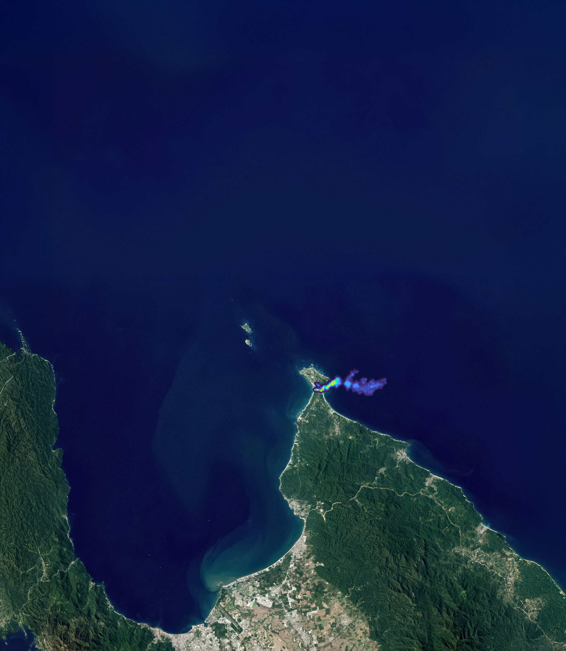
Trusted, facility-level methane data gives operators the situational awareness to identify high-emitting assets early, plan targeted maintenance, and respond to emission events before they become regulatory, financial, or reputational liabilities.
Save time
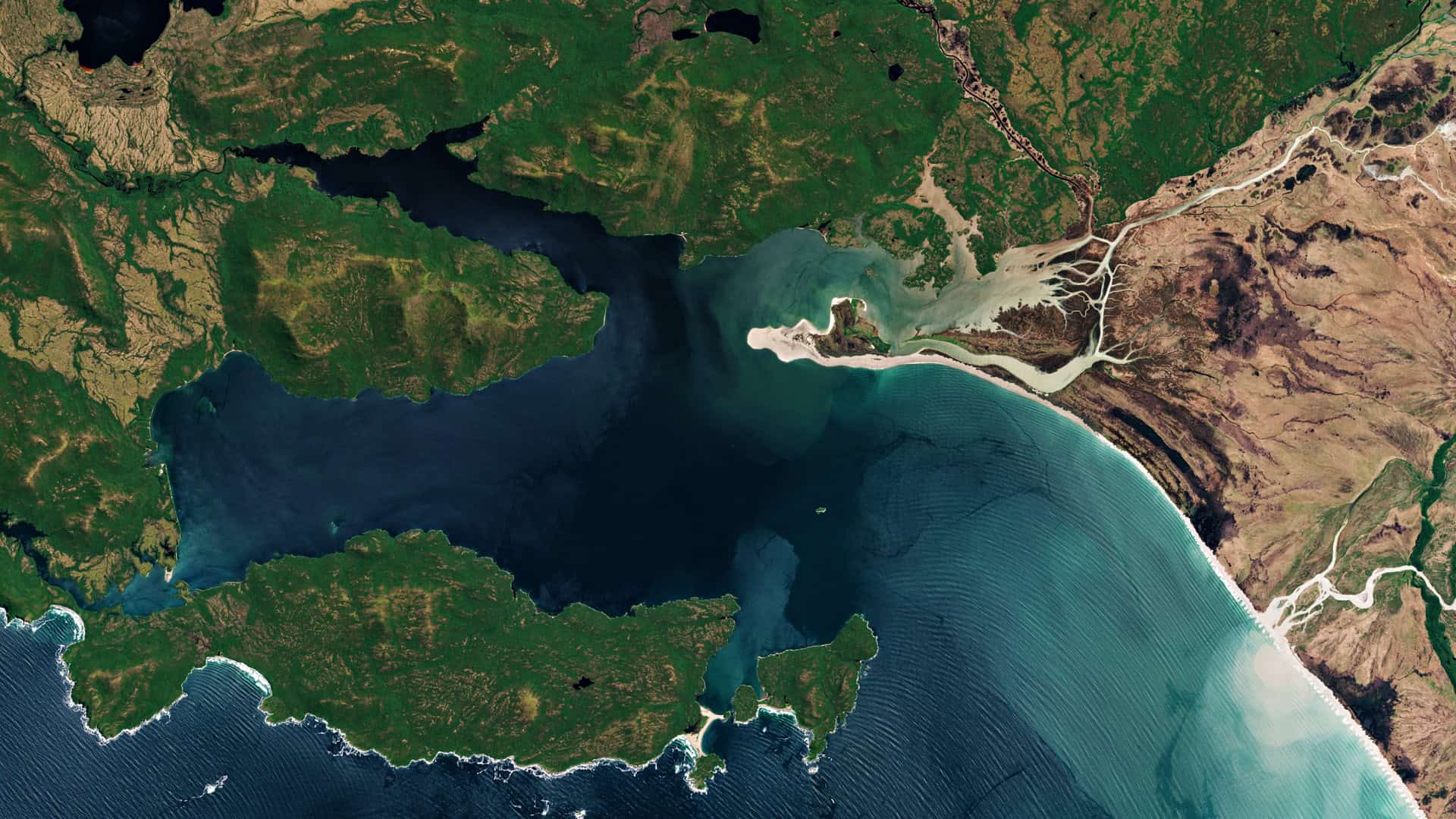
Frequent, year-round satellite monitoring replaces resource-intensive ground inspection cycles with continuous, portfolio-wide coverage delivering actionable emissions intelligence that supports faster decisions and rapid operational response.
Lower costs and recover lost product
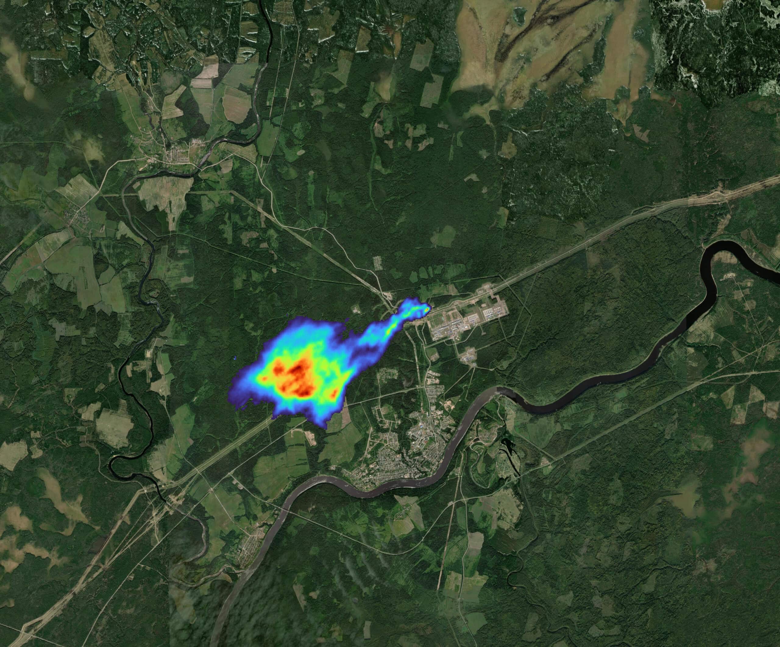
Independent emissions data directs LDAR activity to the assets that need it, reducing unnecessary inspection hours across wells, compressor stations, pipelines, and LNG terminals and recovering lost product that would otherwise vent to the atmosphere.
Optimise resources
With facility-level emissions data, field crews go where the data directs them. Personnel are allocated to value-added activities, not speculative inspections, minimizing transit, downtime, and the cost of monitoring at scale.

Verify compliance
Accurate, independently verified emissions data supports OGMP 2.0 methane reporting, EPA Subpart W, the EU Methane Regulation, and third-party certification programs, giving compliance teams data they can stand behind.

Health, safety, and unrestricted access
Satellite and airborne methane monitoring requires no access to operational sites and no overflight permissions. Emissions are measured remotely, eliminating the personal risk associated with on-site inspection at active, hazardous, offshore, or hard-to-reach facilities.
Case Studies
Detecting and Mitigating Previously Unknown Methane Emissions Across Three Countries
OGCI SATELLITE MONITORING CAMPAIGN
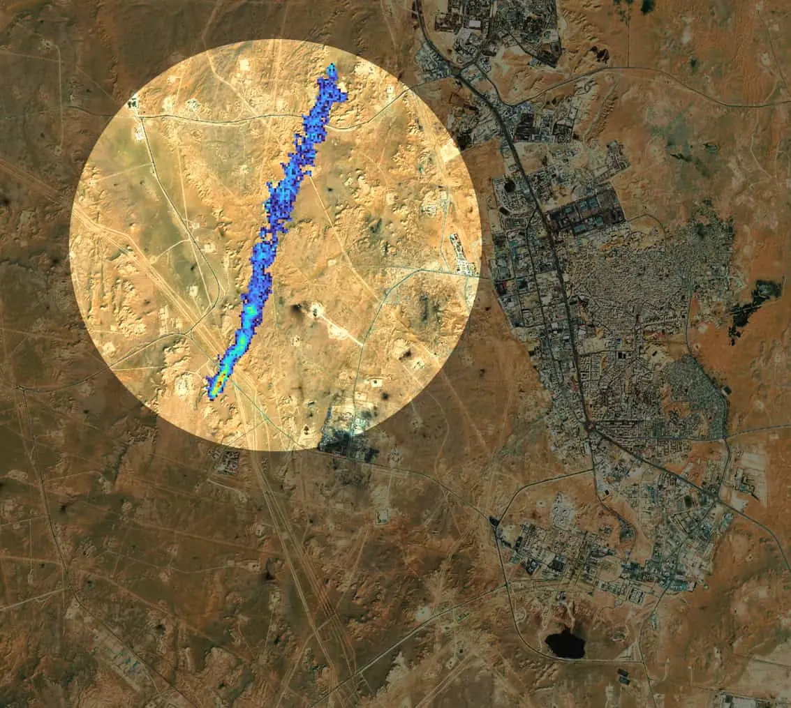
Oil and gas operators in Algeria, Kazakhstan, and Egypt faced a problem common across the industry: intermittent, fugitive emissions spread across vast, remote assets that ground inspection alone could not reliably detect. Through OGCI’s Satellite Monitoring Campaign, GHGSat conducted more than 530 high-resolution satellite observations across 18 facilities over 12 months—identifying persistent emission sources that operators had not previously characterized. Three sources were successfully mitigated, with a combined average rate of 3,200 kg CH₄/hr—the equivalent of approximately 1 MTCO₂e.
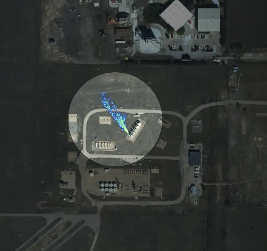
Airborne Methane Detection Validated Under Single-Blind Conditions at METEC
PERFORMANCE VALIDATION | COLORADO STATE UNIVERSITY / METEC
In 2025, DATA.AIR underwent independent single-blind controlled release testing at Colorado State University’s Methane Emissions Technology Evaluation Centre (METEC) in Fort Collins, Colorado. Release rates were set and metered independently, with parameters withheld from GHGSat in advance. Testing confirmed a detection threshold of 3.6 kg/hr at 90% probability of detection—independently verifying DATA.AIR’s published performance specifications under standardized, third-party conditions.
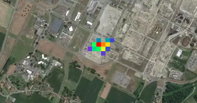
Setting a World Record in Methane Detection Under Single-Blind Conditions
TOTALENERGIES
GHGSat and TotalEnergies quantified the smallest controlled methane release ever detected at TotalEnergies’ TADI facility in France, under fully single-blind conditions. The collaboration extended to offshore platform monitoring across the North Sea and Gulf of Mexico.
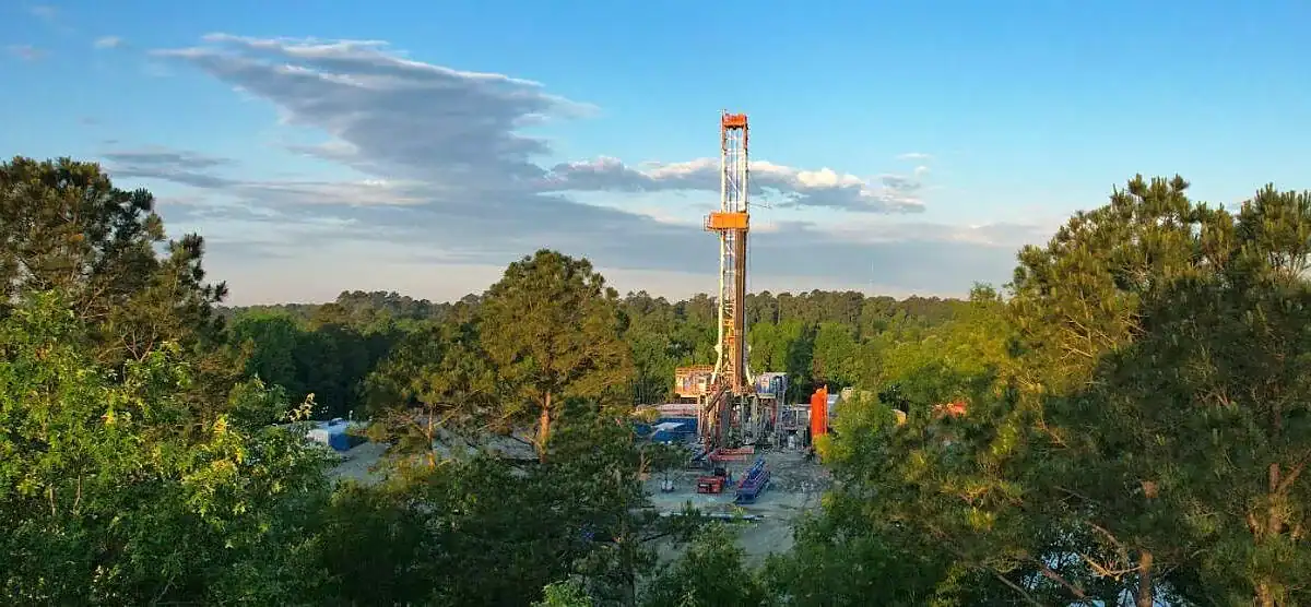
Achieving MiQ Certification with Independent Airborne Measurement
COMSTOCK RESOURCES
Comstock Resources deployed DATA.AIR across Permian Basin assets to generate independently measured, source-attributed methane data for MiQ certification, complementing their existing ground-based LDAR program.
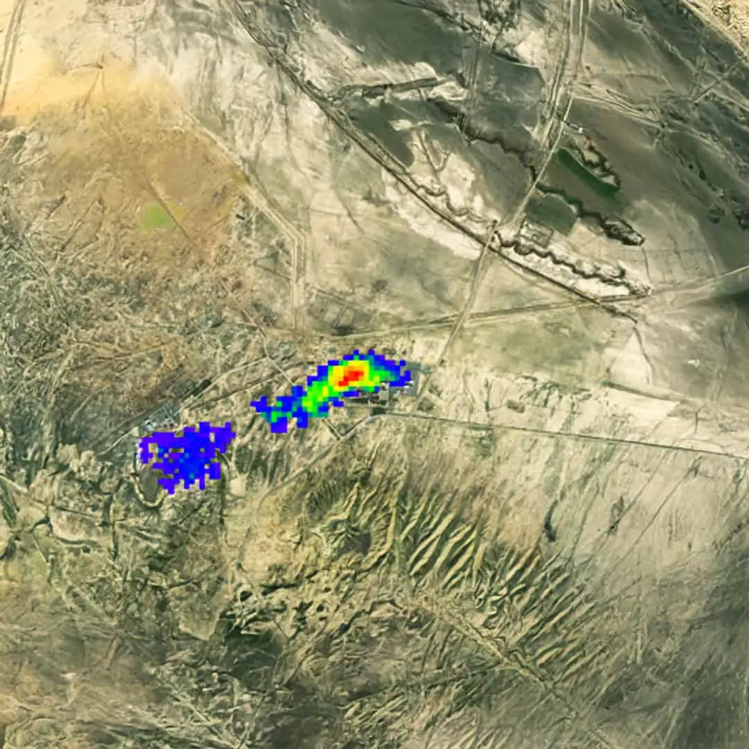
Portfolio-Wide Satellite Methane Screening Across Industrial Assets
SOCAR
DATA.SAT was deployed to screen SOCAR-operated facilities across Azerbaijan, identifying facility-level emission plumes, quantifying emission rates, and providing spatial attribution across a distributed asset portfolio.
FAQ
Frequently Asked Questions
Talk to An Expert
Start Your Oil and Gas Methane Monitoring Programme
Whether you are building an LDAR program, working toward OGMP 2.0 compliance, responding to investor requirements, or monitoring offshore assets, speak with a GHGSat expert to understand the right satellite and airborne methane monitoring approach for your asset base.